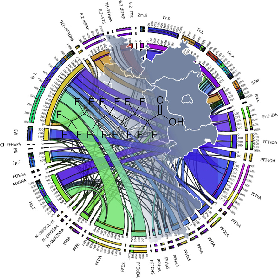
Per- and polyfluoroalkyl substances in the German environment – Levels and patterns in different matrices
Kotthoff, Matthias; Fliedner, Annette; Rüdel, Heinz; Göckener, Bernd; Biegel-Engler, Annegret; Koschorreck, Jan
Science of The Total Environment 740 (2020), 20. Oktober 2020, 140116; online 10. Juni 2020
Abstract
Per- and polyfluoroalkyl substances (PFAS) in the environment mostly originate from emissions of previously unregulated PFAS. However, there are also many documented incidents of accidental releases. To track such releases, it is essential to distinguish between typical background contamination and legally relevant incidents. This requires a comprehensive overview of all PFAS present in the environment, which is currently only possible to a limited extent due to the large variety of individual compounds.
In the present study, a multimethod for capturing 41 PFAS including perfluoroalkyl acid (PFAA) precursors is introduced. The applicability of the method was tested on terrestrial, freshwater and marine samples from the German Environmental Specimen Bank (ESB), thereby providing a rough overview of PFAS contamination in German environment. Special focus was put on soil samples from ESB sites across Germany in comparison to soil samples from a polluted site in south-west Germany. The method was successfully applied to environmental samples. In total, 31 PFAS were detected, among them PFAA precursors and fluorinated ethers. Substance patterns differed between sites and matrices. In ESB soil samples from 2014 (n = 11), the sum of all captured PFAS ranged between 0.75 and 19.5 μg kg−1 dry weight (dw), while concentrations between 416 μg kg−1 and 3530 μg kg−1 were detected in samples from the incident site (n = 10). In other matrices, total PFAS concentrations were magnitudes lower. Highest concentrations were observed for PFOS in bream livers from the Saale (226 μg kg−1). Given the heterogeneous patterns, it will require further broadly-based monitoring data to allow for a solid estimation of relevant background levels. The data provided here may support the differentiation between background levels and hotspot contaminations.
doi: 10.1016/j.scitotenv.2020.140116
